The images below provide some additional information about the
Anza Trail in the California desert. The large images may be downloaded
as jpg files or as pdf files for printing with Adobe Acrobat.
Note: To read PDF
files you will need the Adobe Acrobat reader, which can be downloaded
free from the Adobe
web site.
| Father Font's
Map |
|
1891 Map |
|
Remote Sensing |
|
|

|
|
|

Click to go to enlarged jpg image below

Click
for pdf |
|

Click to go to enlarged jpg image below

Click for
pdf |
|

Click to go to enlarged jpg image below

Click
for pdf |
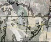
| Father
Pedro Font's map of the Anza
expedition of 1775-1776 showing campsites 47 [Yuha Wells],
48 [north of Plaster City] and 49 [San Sebastian Indian Village].
This map is rectified at campsites 41, 47, 49 and superimposed
on a Google
Earth map for direct comparison. |
|
1891 map showing Sacketts Wells [not Yuha Wells], Indian Village
[San Sebastian, Anza camp 49] at the San Felipe creek/wash and
a trail [dotted line] connecting the two areas.
Map from David
Rumsey Map Collection. |
|
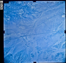
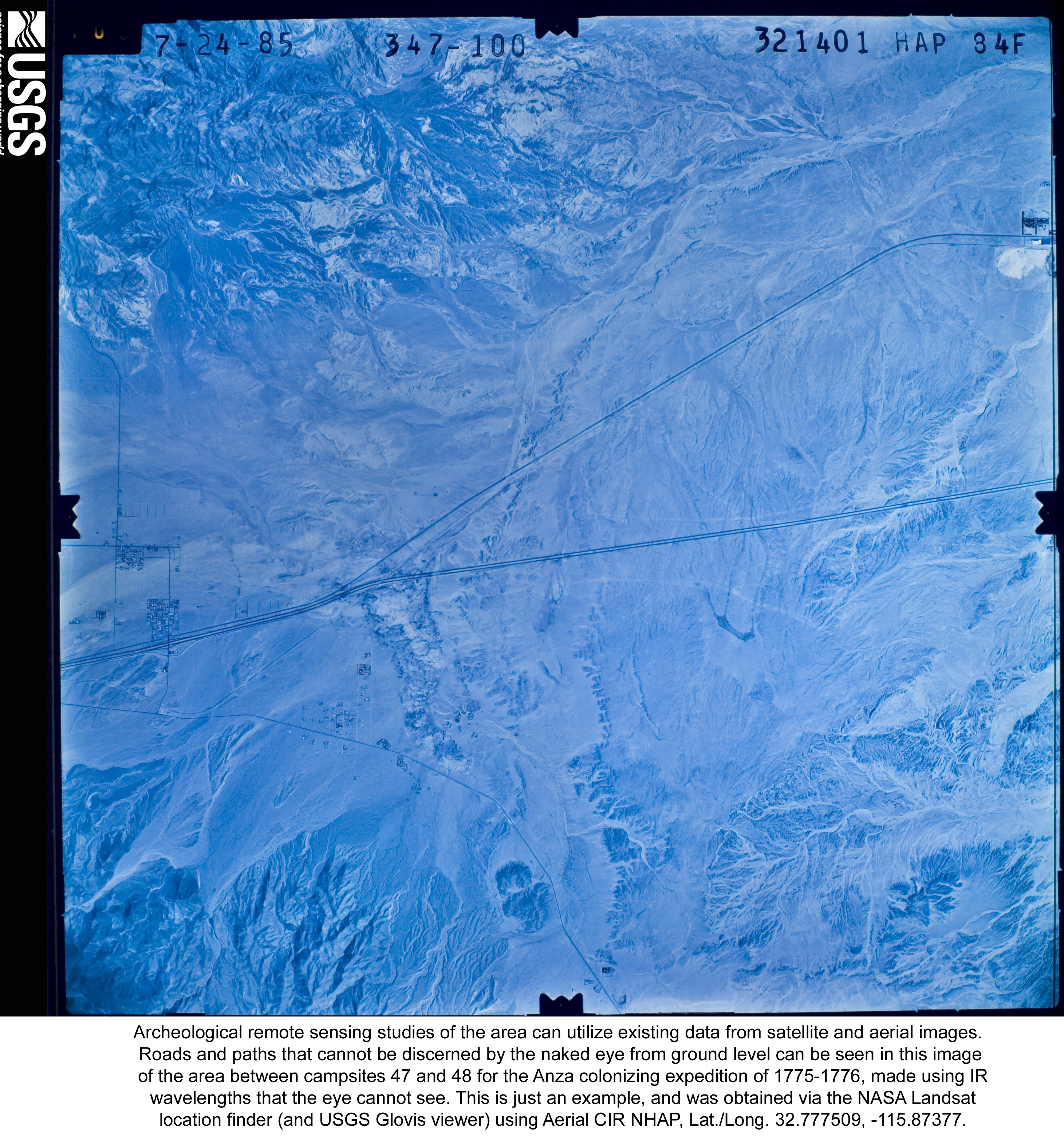
Archeological
remote sensing of roads and paths, that cannot be discerned
by the naked eye from ground level, can be seen in this infrared
(IR) image of the area between campsites 47 and 48 for the Anza
colonizing expedition of 1775-1776. This is just an example,
and was obtained via the NASA
Landsat location finder (and USGS Glovis viewer) using Aerial
CIR NHAP, Lat./Long. 32.777509, -115.87377.
|
|
|
|
|
|
|
|
|
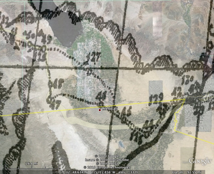
Father
Pedro Font's map of the Anza
expedition of 1775-1776 showing campsites 47 [Yuha
Wells], 48 [north of Plaster City] and 49 [San Sebastian
Indian Village]. This map is rectified at campsites
41, 47, 49 and superimposed on a Google
Earth map for direct comparison.
To download the above jpg image of Father Pedro Font's
map: right-click (or Ctrl-click on a Mac) on image above
and select "Save Picture As" or "Save image as" to save
the image on your computer. Note that the downloaded
file will be larger than the image displayed above.
|
|
|
|
|
|
|
|
|
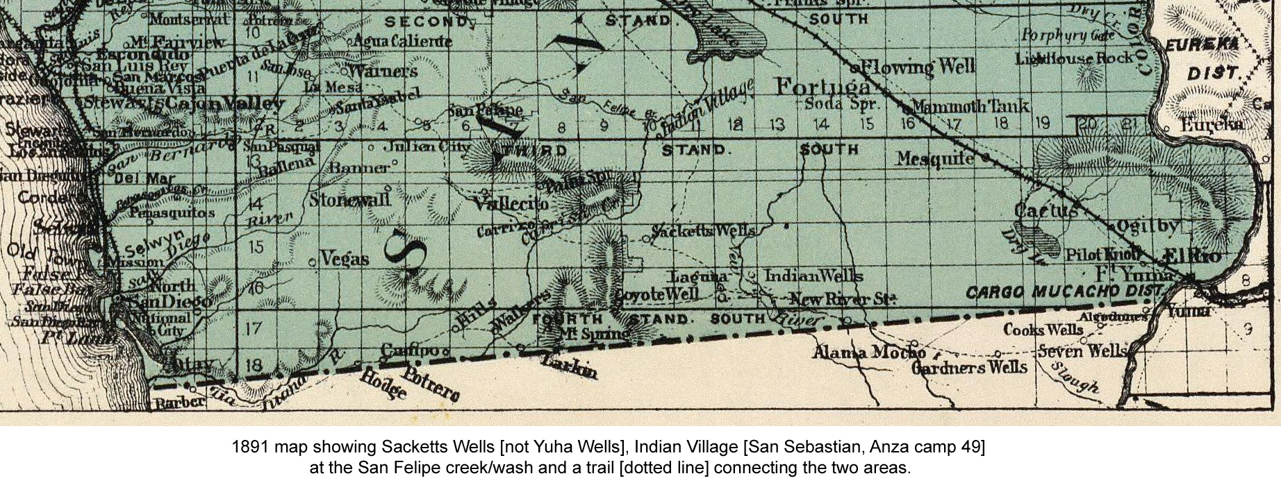
Map from David
Rumsey Map Collection.
To download the above 1891 map jpg image (including
caption): right-click (or Ctrl-click on a Mac) on image above
and select "Save Picture As" or "Save image as" to save the
image on your computer. Note that the downloaded file will
be larger than the image displayed above.
|
|
|
|
|
|
|
|
 |
|
To download the above jpg archeological remote
sensing image (including caption): right-click (or Ctrl-click
on a Mac) on image above and select "Save Picture As" or "Save
image as" to save the image on your computer. Note that the
downloaded file will be larger than the image displayed above.
|
|
This web page contains material that can be found
elsewhere on the Internet or in public sources. It was created
to educate the visitor by providing graphical information associated
with the Anza trail. The arrangement of the content on this
site is the sole responsibility of the site
owner and does not reflect the opinions or analysis of the
National
Park Service or the Bureau
of Land Management. The content of this web page is covered
under fair
use practices.
External web pages and pdf files will open in new windows.
|